IMPORTANT: No additional bug fixes or documentation updates
will be released for this version. For the latest information, see the
current release documentation.
Heat map layer
edit
IMPORTANT: This documentation is no longer updated. Refer to Elastic's version policy and the latest documentation.
Heat map layer
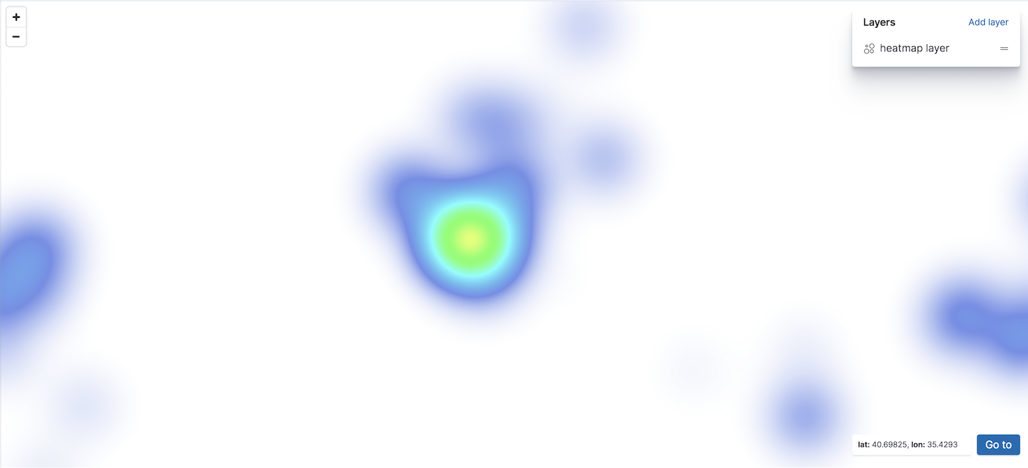
editIn the heat map layer, point data is clustered to show locations with higher densities.
You can create a heat map layer from the following data source:
- Grid aggregation
- Geospatial data grouped in grids with metrics for each gridded cell. Set Show as to heat map. The index must contain at least one field mapped as geo_point.
Only count and sum metric aggregations are available with the grid aggregation source and heat map layers. Mean, median, min, and max are turned off because the heat map will blend nearby values. Blending two average values would make the cluster more prominent, even though it just might literally mean that these nearby areas are average.