IMPORTANT: No additional bug fixes or documentation updates
will be released for this version. For the latest information, see the
current release documentation.
Vector layer
edit
IMPORTANT: This documentation is no longer updated. Refer to Elastic's version policy and the latest documentation.
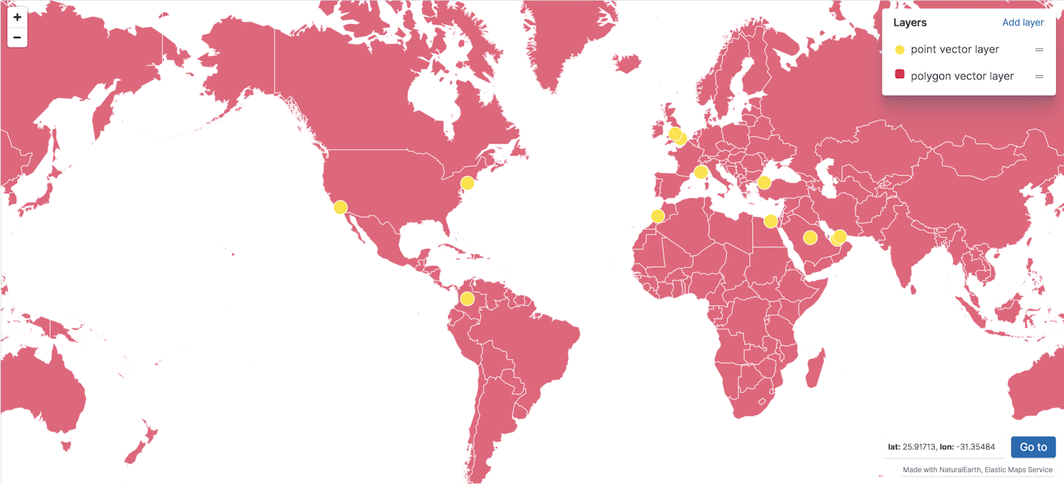
Vector layer
editThe vector layer displays points, lines, and polygons.
You can create a vector layer from the following sources:
- Custom vector shapes
- Vector shapes from static files configured in kibana.yml. See map.regionmap.* in Configuring Kibana for details.
- Documents
- Geospatial data from a Kibana index pattern. The index must contain at least one field mapped as geo_point or geo_shape.
- Grid aggregation
- Geospatial data grouped in grids with metrics for each gridded cell. Set Show as to grid rectangles or points. The index must contain at least one field mapped as geo_point.
- Vector shapes
- Vector shapes of administrative boundaries from Elastic Maps Service.